
Super El Niño reaches "unprecedented" levels in the Pacific
Sea temperatures have hit new records weeks before the expected December peak, and 2026 is set to be one of the warmest years on record.
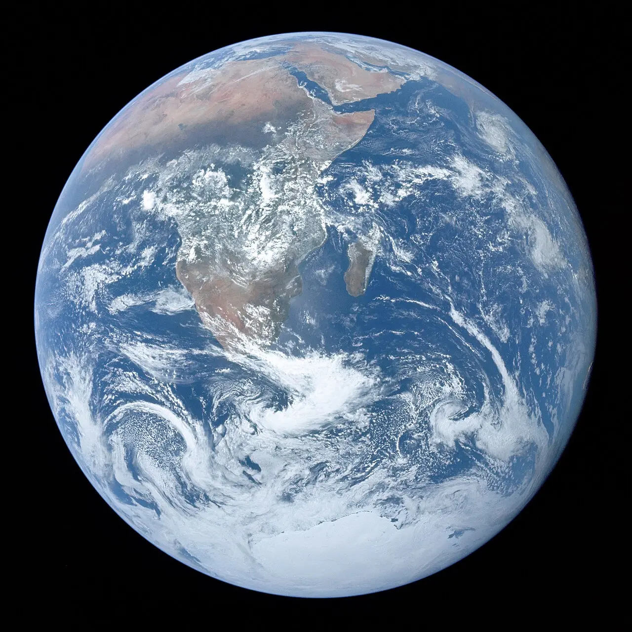
This year's El Niño has strengthened to what some scientists are calling "unprecedented levels", weeks before it is expected to peak in December.
Australia's Bureau of Meteorology says average weekly sea surface temperatures in the central Pacific have reached their highest level on record. In September, scientists recorded a new daily record for sea surface temperatures in the central and eastern Pacific, beating the previous record set during the very strong El Niño of 2015.
"Unprecedented in the historical record"
Temperatures above 30C have been recorded for the first time in parts of the tropical Pacific, alongside record warmth beneath the surface.
"We are currently witnessing an El Niño event that is unprecedented in the historical record," Dr Zeke Hausfather, a climate scientist at Berkeley Earth, told the BBC. "The strength of El Niño this year is spilling out of the traditional El Niño region."
Because the Pacific is also warming as a result of climate change, forecasters now use a relative index that strips out that background warming so this event can be compared fairly with past ones. On that measure, too, it now exceeds the record-breaking December of 2015.
What is El Niño?
El Niño is a natural pattern in which the surface of the central and eastern tropical Pacific becomes unusually warm. It happens every two to seven years and usually lasts about a year. It releases extra heat from the ocean into the atmosphere, so global temperatures tend to be higher in El Niño years.
Combined with human-caused warming, that extra heat is expected to make 2026 one of the warmest years on record, with high global temperatures likely to continue into 2027. The WMO, the United Nations' weather agency, says there is currently no evidence that climate change makes El Niño events stronger or more frequent, although it remains an active area of research.
Effects around the world
Past super El Niños, in 1997-98 and 2015-16, brought severe drought and forest fires to south-east Asia, floods to parts of East Africa and drought to southern Africa. Strong El Niños also tend to suppress Atlantic hurricanes while boosting storms in parts of the Pacific, a pattern seen again this year. The WMO says disruption from drought and floods is already being reported, with concerns about food security in parts of East Africa and the Asia-Pacific.
What about Birmingham?
El Niño's effect on British weather is much weaker and less predictable than in the Pacific region, because so many other factors influence our weather. But the Met Office's three-month outlook points to a greater than normal chance of a wetter and windier late autumn and early winter, which forecasters say is consistent with patterns seen in previous El Niño years.
That would be welcome news for water supplies after a very dry year, with the region still in drought, but it could also bring a greater risk of storms and flooding as the season goes on.
The European Centre for Medium-Range Weather Forecasts and the US National Oceanic and Atmospheric Administration both expect El Niño to peak in December.
More in Weather
All

Latest news
Featured posts
-
Things to do
Top 10 places to visit in Birmingham
-
Food and drink
The 12 most popular food spots in Birmingham
-
Things to do
The best laser tag locations in Birmingham