
Storm Boelo brings amber warning as Austen moves away
Gusts of up to 80mph are forecast in Scotland on Saturday night and Sunday, while Birmingham faces a wet and windy weekend.
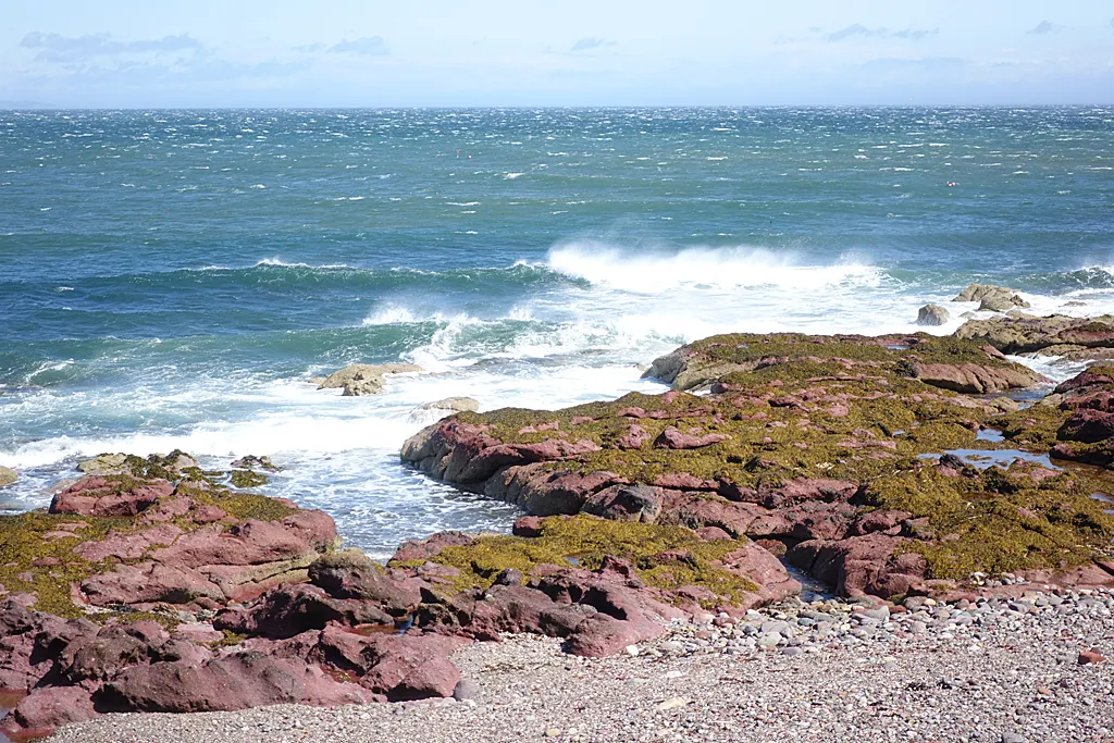
The Met Office has issued an amber warning for wind for much of Scotland and parts of Northern Ireland and northern England, as a second storm, Boelo, follows hard on the heels of Storm Austen.
The amber warning covers Saturday night and Sunday. Widespread gusts of 60 to 70mph are forecast, with up to 80mph possible in exposed coastal places. It sits within wider yellow warnings that stretch further south into England and cover the whole of Northern Ireland.
Austen moves on
The amber warning for Storm Austen expired on Friday morning as the storm moved away towards the Low Countries. Gusts of 76mph were recorded at St Mary's airport on the Isles of Scilly in the early hours, with 74mph at Aberporth in Wales and 71mph at Culdrose in Cornwall.
Dan Suri, the Met Office's chief forecaster, said Storm Austen would still bring wet and windy conditions to large parts of the UK through Friday, with yellow wind warnings remaining in place for Wales and much of England, including Birmingham. "Conditions will eventually improve briefly tonight before Storm Boelo moves in from the west," he said.
A stormy weekend
Mark Sidaway, a deputy chief forecaster, said: "Saturday morning will start dry and bright in the east of the UK, however further west, rain and increasingly windy conditions will already be setting in as people wake up for the day. This stormy weather will continue to move eastwards, bringing rain and windy conditions to all of the UK."
"Gusts could reach up to 80mph in places. More widely, gusts will still reach 50 to 60mph, and spells of heavy rain could also lead to some impacts. People should prepare by securing loose items outside their property, being ready in case of power outages and being aware of likely travel disruption."
The heaviest rain and strongest winds will continue through Sunday in the north. Further south, across southern England and Wales, it will be drier and brighter but still windy.
Advice for drivers
The RAC said the two storms would give drivers their first real taste of autumn. Jack Halstead, its mobile mechanic of the year, advised drivers to slow down, leave a much bigger gap to the vehicle in front and avoid exposed routes where possible. "If something doesn't feel right with a vehicle, drivers mustn't risk it," he said, urging motorists to keep their cars serviced as the seasons change.
The week ahead
Unsettled weather is expected to continue into next week, especially in the north, as another area of low pressure brings more wind and rain. Later in the week, forecasts suggest higher pressure could bring more settled conditions.
For Birmingham, the weekend looks wet at times and blustery, particularly on Saturday as the rain spreads east across the country. Anyone travelling north for the half-term holiday, including to Scotland, the Lake District or north Wales, should check the forecast and travel updates before setting off.
The clocks go back one hour at 2am on Sunday, marking the end of British Summer Time.
More in Weather
All

Latest news
Featured posts
-
Things to do
Top 10 places to visit in Birmingham
-
Food and drink
The 12 most popular food spots in Birmingham
-
Things to do
The best laser tag locations in Birmingham