
A "smorgasbord" of weather as wind and rain return next week
The Met Office expects showers, a chilly Saturday night, then gales and unusually mild air on Tuesday.
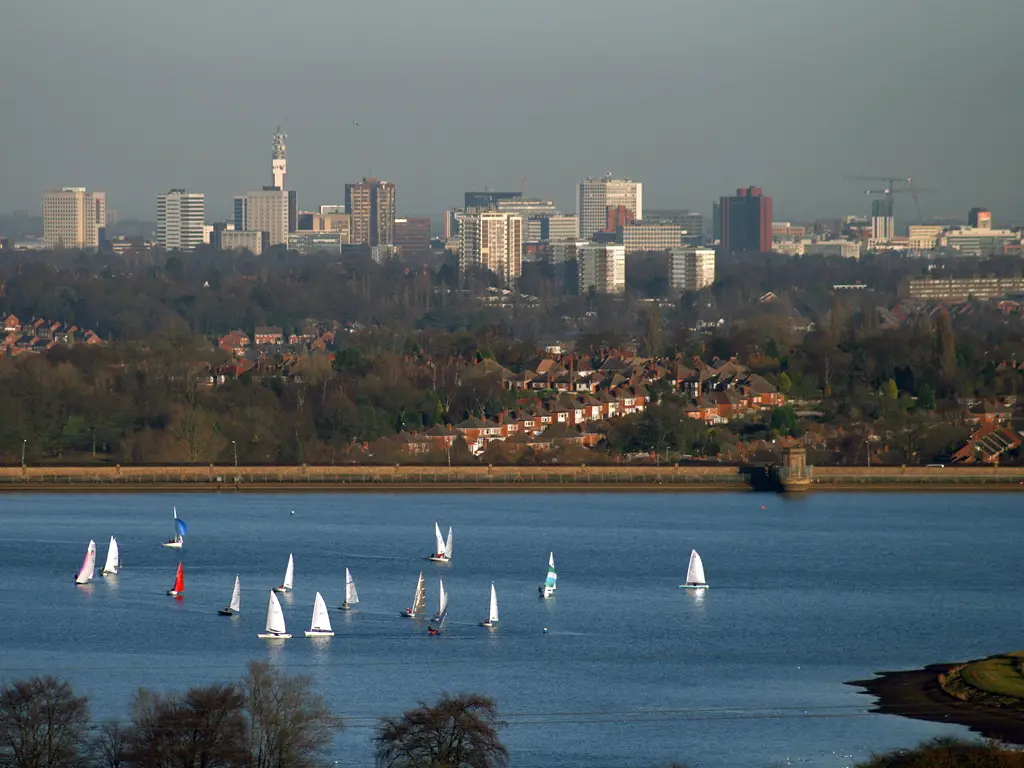
The UK faces changeable weather into the middle of next week, the Met Office says, as "contrasting and competing weather systems vie for dominance".
The forecaster says the next few days will bring "a smorgasbord of weather types, with swings from relatively balmy conditions to relatively cool", all typical of the variability expected in autumn.
The weekend
Friday brought heavy, blustery showers across the UK, with sunny spells in between and a chilly feel in the wind.
Saturday begins with a scattering of showers coming in from the north and west. Met Office Chief Forecaster Andy Page said: "Some of these showers will bring larger rainfall totals, mainly in northwestern parts of the UK. Temperatures in the south, especially in longer spells between showers, will reach around 15C."
"Clearing skies during Saturday evening, courtesy of a transient ridge of high pressure, will bring cooler conditions overnight, with the possibility of frost in more prone spots in northern parts of the UK. On Sunday, many locations will have a dry and bright day with sunny spells, and any remaining showers will fade away."
Cloud will increase in the west on Sunday afternoon, with rain spreading into the south-west later in the day. Strong winds, and possibly coastal gales, are a watchpoint for Irish Sea coasts later.
Next week
Deputy Chief Forecaster Mike Silverstone said Monday was likely to be influenced by a weather front moving from west to east, bringing thicker cloud and outbreaks of rain.
"A deepening area of low pressure to the northwest of the UK brings the prospect of gales along coasts and over high ground in northern and western parts of the UK for Monday night, which is partly driven by a strong and active jet stream," he said. "Currently, however, these conditions are not likely to result in the need for severe weather warnings."
Tuesday looks unsettled and windy, but unusually mild for October, particularly in the east and south-east of England. A band of rain, some of it heavy, will cross the UK before brighter, fresher weather arrives from the west. Temperatures could reach the low 20s Celsius in the warmest spots before cooler air returns later in the day.
What it means for Birmingham
For Birmingham, that points to a showery Saturday, a chilly night, then a brighter, calmer Sunday. Rain is expected to arrive overnight into Monday, followed by a wet and windy spell, before Tuesday turns brighter and fresher later. Despite the wind and rain, temperatures early next week look higher than normal for mid-October.
What is the jet stream?
The jet stream is a fast-moving ribbon of air high in the atmosphere, around 9 to 16 kilometres up. It steers areas of low pressure across the Atlantic towards the UK. When it is strong and lies close to the UK, as it will next week, it brings a run of wet and windy weather systems. When it moves north or south of the UK, it allows calmer, more settled weather to build.
Before the wind arrives
With gusty weather on the way, it is worth tying down or putting away garden furniture, trampolines and bins, and clearing fallen leaves from drains and gutters so heavy rain can get away.
The latest forecasts are on the Met Office website and app, on YouTube and on its social media channels.
More in Weather
All

Latest news
Featured posts
-
Things to do
Top 10 places to visit in Birmingham
-
Food and drink
The 12 most popular food spots in Birmingham
-
Things to do
The best laser tag locations in Birmingham