
Joint-fourth warmest September on record for the UK
England had its third warmest September, with only 65 per cent of its usual rain.
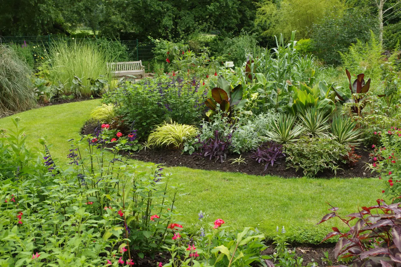
The UK has had its joint-fourth warmest September on record, continuing a run of exceptionally warm months, according to provisional figures from the Met Office.
The mean temperature for the UK was 14.6C, level with September 1949 and September 2016, and 1.6C above the average for 1991 to 2020. In England, the mean temperature of 16.0C made it the third warmest September on record.
Warmest in the south and east
The warmth was most pronounced in the south and east of the country. Temperatures were as much as 2.4C above average in East Anglia and south-east England, but only 0.8C above average in northern Scotland.
The highest temperature of the month was 28.1C, recorded on 29 September, when warm air from the south pushed temperatures well above normal for the time of year. Birmingham's forecast high that day was around 25C, before heavy rain and strong winds arrived on Wednesday.
A dry month for England
Rainfall across the UK as a whole was close to average, at 104 per cent of the long-term figure, but there were big regional differences. England had only 65 per cent of its usual September rainfall, while Scotland and Northern Ireland were much wetter than usual, with 137 and 135 per cent respectively. Wales had almost exactly its average.
Sunshine
Sunshine was close to average, with 124.6 hours across the UK, 98 per cent of the usual amount. Northern Ireland was duller than normal.
A changing climate
Mike Kendon, a climate information scientist at the Met Office, said: "Persistent warmth has been the theme of recent months and September is no different." He said the figures reflected "more frequent above-average temperatures in the UK as our climate continues to change".
The warm September follows the UK's hottest summer on record, with an average temperature of 16.5C, beating the previous record set only last year.
What it means for water
The dry September in England has prolonged the drought affecting much of the country, including the area around Birmingham. Philip Duffy, chief executive of the Environment Agency, said: "Drought is only over when groundwater, rivers, and reservoirs are back to normal levels, and that will take months of significant and sustained wet weather."
Gardens and wildlife
Warm autumns can confuse plants and animals. Some plants have been flowering for a second time, and some insects, such as butterflies and bees, have stayed active for longer than usual. Gardeners are advised to keep watering young plants and newly planted trees while the ground remains dry.
How records are kept
The Met Office's national records for the UK go back to 1884 for temperature, and even further for rainfall. Monthly figures are calculated from a network of hundreds of weather stations and published provisionally at the start of the following month, with final figures confirmed later.
What October holds
The Met Office's longer-range forecast suggests October will be changeable, with wet and showery spells, especially in the west, and temperatures likely to be slightly above average overall.
Autumn has begun
For weather forecasters, autumn runs from the start of September to the end of November, while the astronomical autumn began with the equinox on 23 September. Whatever the definition, the days are now shortening quickly, and the coming weeks usually bring cooler nights, more frequent rain and the first frosts of the season, especially in rural areas outside the city.
More in Weather
All

Latest news
Featured posts
-
Things to do
Top 10 places to visit in Birmingham
-
Food and drink
The 12 most popular food spots in Birmingham
-
Things to do
The best laser tag locations in Birmingham