
Dry weekend ahead, with a chilly night and frost in places
High pressure will bring sunny spells after Friday's rain, before the weather turns more changeable next week.
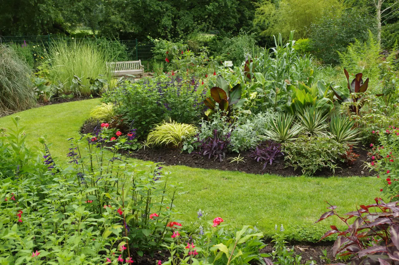
Much of the UK, including Birmingham, can look forward to a largely dry and settled weekend as high pressure builds, the Met Office says, before more changeable weather arrives next week.
Friday
Rain will clear the south east of England on Friday, and high pressure will build behind it, bringing a calmer and cooler feel to the start of the weekend.
Saturday
Saturday will be largely dry for many, with sunny spells, light or moderate winds and temperatures around or slightly below average for the time of year. There is a chance of some heavy showers near eastern and south-eastern coasts.
Saturday night will be particularly chilly, with a widespread risk of frost in parts of the north. Further south, including Birmingham, it will still feel cold overnight under clear skies.
Sunday
Sunday stays largely dry and settled for many, although rain or showers could develop more widely across parts of eastern and south-eastern England during the day. Cloud may increase in the far north and north west later, with some patchy rain.
"A window of dry and bright autumn weather"
Chris Bulmer, the Met Office's chief forecaster, said: "For many, this weekend brings a window of dry and bright autumn weather, with some sunny spells and light winds as high pressure stays dominant. Overnight may feel particularly chilly, and those in eastern and south-eastern areas should watch out for some heavy showers."
Next week
There are signs of a more changeable pattern from early next week as low pressure gains more influence. Rain or showers are likely to affect parts of England and Wales on Monday and Tuesday, with southern areas more likely to see some rain, although there is uncertainty about where rain will develop and how heavy it will be.
"There are signs that high pressure will loosen its grip through next week, allowing for lower pressure and Atlantic weather systems to have more influence by the end of the week, increasing the chance of spells of wet and windy weather for all areas," Mr Bulmer said. "There is still some uncertainty in the likely change in weather patterns through next week, with details expected to become clearer over the coming days."
Making the most of it
A bright autumn weekend is a good chance to get outdoors, with trees across the city's parks starting to turn. Sutton Park, the Lickey Hills, Cannon Hill Park and the Botanical Gardens in Edgbaston are among the best places to see autumn colour.
The first frosts are also a signal for gardeners to bring tender plants indoors or under cover, and for drivers to allow a few extra minutes to clear windscreens on cold mornings. Never use hot water on a frozen windscreen, which can crack the glass.
More in Weather
All

Latest news
Featured posts
-
Things to do
Top 10 places to visit in Birmingham
-
Food and drink
The 12 most popular food spots in Birmingham
-
Things to do
The best laser tag locations in Birmingham